Delightful Florida Recreation · Boaters apps

Water maps built for the Captain
and the family of boaters.

A native iOS app for Florida's rivers, lakes and tributaries, its navigable swamps, and its beachfront and coastal runs — with high-visibility markers, offline fishing regulations, and safety-first design. Built by boaters, for boaters.

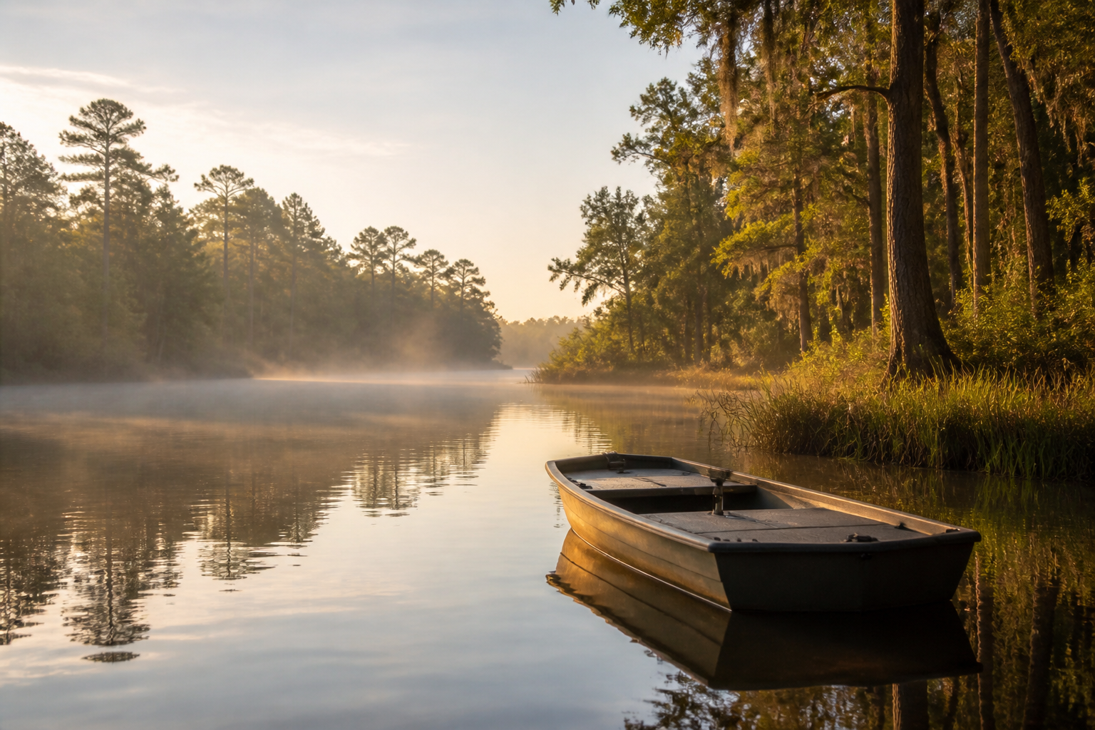
Angler casting from a small boat on a calm north Florida river at golden hour, cypress trees on the banks
The app open on the Steinhatchee River, showing color-coded boat ramp, marina, channel marker, hazard and fishing-spot pins on a nautical map
Works with no signal

The portfolio

One app. Every water we cover, inside it.

A boater downloads one app — Florida Boater — and every water we have charted is already in it. No hunting through a shelf of near-identical apps and no separate download for each river. One app, and every water we have charted is inside it.

Where that stands today. Verified field data covers eleven waterway systems in the Big Bend and North Florida — the Suwannee, the Steinhatchee, the Santa Fe, the Aucilla and seven more. A further 90-odd Florida waterways are charted on the map and do not yet carry our field work. Central and South Florida are charted and unverified. The build map shows exactly which is which. Charted is not verified, and we will not blur the two.

That list is the work, and it is nowhere near finished. Florida alone holds far more river, lake, coast and swamp than any single release can carry. So the app ships region by region, each one arriving inside the app already installed rather than as a separate download.

In development

Florida first

The app opens in the water we know best — the Steinhatchee and Suwannee regions — and adds the rest of Florida region by region, each arriving inside the app already installed.

Explore the Steinhatchee dataset →
Next state

North Carolina next

The same app, extended to North Carolina water — carrying that state's own two rule sets, from the Wildlife Resources Commission inland and the Division of Marine Fisheries on the coast.

Inside the app

Regions, not separate apps

Steinhatchee, the Suwannee, and each waterway that follows arrive as regions inside the app already installed — downloadable for offline use before you leave the driveway.

What it costs

Nothing, at first release

The first release carries no purchase and no subscription. If that changes, the App Store listing will say so before you install, and it will be the only place a price appears. We will not print one here.

How it works

Everything you need on the water — even without signal.

The app showing the Steinhatchee River with color-coded pins for boat ramps, marina and fuel, channel markers, a charted hazard, and fishing spots
Steinhatchee RiverRamps, markers, hazards and fishing spots — charts saved for offline use
  1. 1

    Open the app on the water

    Your location appears on a clean nautical map — no ads, no clutter, no login wall.

  2. 2

    Read pins built for sunlight

    Every marker uses a high-visibility color chosen for readability on a moving boat in bright sun and glare — not muted iOS defaults that wash out on the water.

  3. 3

    Tap any pin for real detail

    Boat ramps, fishing holes, artificial reefs, freshwater springs, and landmarks — with GPS, depth notes, tide info, and safety cautions.

  4. 4

    Fishing regs stay current — and offline

    The app syncs the latest regulations whenever you have signal, then falls back to a bundled offline copy the moment you lose it. You always know the rules.

  5. 5

    Plan the trip, then invite the crew

    Build the trip from drop-down menus — pick the region, the ramp you’re launching from, the date and the time you want lines in the water. When it’s set, send an invite straight to your fishing buddies. They get the meeting spot with its coordinates and a tap to open directions, the launch time, and a way to answer back that they’re driving themselves, riding with you, or need picking up and where. Send the same plan to your wife, your husband, whoever is staying home — so somebody on shore knows which water you’re on, which ramp you left from, and when you said you’d be back. Bookmark your honey holes and pre-download the region before you leave the driveway.

  6. 6

    Photograph the catch — it logs itself

    Shoot the fish with the camera built into the app and it lands in your Catch Album already stamped: the GPS coordinates and the nearest named water, the date and time to the minute, and the species with the size and bag limit that applied at that spot on that day. No notebook, no guessing later which trip a photo came from. The album lives on your phone and travels with your regions.

  7. 7

    See the boats who’ve said yes to being seen

    Two boats working the same flat rarely end up in the same place. Switch on the locator and the people who have accepted you show up on the same chart you’re already reading — your party, so they can run to you instead of guessing, and the person at home, so a wife can see her husband is still out on the water and still moving. You can also send a request to another app holder passing nearby and fish together if you both want to. Nothing appears without a yes: they hold the app, they accept the request, and either of you can end it in one tap. Accept a boat and you can open a chat with them too, right on the water, so plans change without anybody having to guess.

  8. 8

    Three ways to stay connected — including where there’s no signal

    The locator and the chat need a connection, and out past the last tower there isn’t one. So the app looks for a link three ways. Where you have cell service it works like anything else. Where you don’t but the other boat is close, the phones talk to each other directly over Bluetooth. Reaching further than that, with no towers at all, means low-power off-grid radio — the kind of inexpensive gear amateur operators already run. We have researched it thoroughly and we are not shipping it in the first release, because the open-source radio software it would build on carries a license we cannot yet combine with a paid app. It is written up in full on the setup guide, marked as what it is. Your chart, your regulations, your hazards and your saved spots never needed a signal to begin with.

The high-visibility marker system

Boat RampSafety Orange
Marina & FuelBright Cyan
Channel MarkerHigh-Vis Yellow
Charted HazardAlert Red
Fishing SpotVivid Green
SpringHot Magenta

Every color in the palette was chosen for one job: staying readable in direct Florida sun, on wet screens, at speed. No pastels. No default teal that blends into open water.

Inside the app

A closer look.

Renderings of the app in development. Every place name, coordinate and posted limit shown here is drawn from the same published sources the app itself uses.

The app showing the Steinhatchee River in Dixie and Taylor County with high-visibility color-coded pins and a legend
Florida · the mapHigh-visibility pins that read in Gulf sun, on a wet screen, at speed
The app showing North Carolina fishing regulations: a photograph of each fish with its name beneath, an open or closed badge for today, and the keep size, daily limit and season for Red Drum, Spotted Seatrout, Southern Flounder and Black Sea Bass
North Carolina · what you can keep todayA photograph of the fish, its name under it, and the answer already worked out for today's date
The app showing the Steinhatchee Boat Ramp detail screen with coordinates, distance to the river mouth, nearest fuel, and a caution that Gulf sturgeon jump on this river
Florida · a place in detailCoordinates, the run to the river mouth, nearest fuel — and the cautions that matter there

Built for your day on the water

A better boating experience — every trip.

Safer runs

High-visibility markers, hazard notes, and honest safety cautions on every location card. See what matters before you plane out.

No-signal reliability

Everything — maps, regulations, saved spots — works offline. The last thing you need in a backwater cove is a spinning wheel.

Faster launches

Nearest ramp, distance, water depth, next tide — one tap. Get from truck to water without hunting through five different websites.

Better catches

Local fishing holes, springs, and artificial reefs mapped by people who fish these waters. Plus the current regs, right where you'd cast.

Family-friendly

Clear, calm interface. Kids can read the map. Grandparents can find the boat ramp. Everyone has a better day.

Fishing games — planned

An in-app fishing game and challenges to keep the crew entertained between bites, and to let landlubbers get a taste of the sport.

The national roadmap

From one river to every waterway in America.

We're starting where we know the water best — north Florida — and expanding outward, region by region, with the same offline-first, safety-first, high-visibility approach.

Select any stage to open its coverage map and stage-level projections. All figures are projections — pre-audit.

Show

Projections are pre-audit estimates. Coverage is measured from the dataset.

  1. 1
    In development

    Steinhatchee, the Suwannee, and the approved queue that follows — all as regions inside the Florida Boater app.

    Map & stage projections

  2. 2
    Next

    Every river, spring, lake and coastal region in the state, all inside the single Florida Boater app.

    Map & stage projections

  3. 3
    Then

    North Carolina Boater comes first, then Georgia, the rest of the Carolinas, Chesapeake Bay, and up to New England.

    Map & stage projections

  4. 4
    Then

    Alabama, Mississippi, Louisiana, and Texas — coastal, delta, and inland waters.

    Map & stage projections

  5. 5
    Then

    California, Oregon, Washington — plus the inland rivers and reservoirs that feed them.

    Map & stage projections

  6. 6
    Then

    Michigan, Wisconsin, Minnesota, and the big lake states — including cross-border waters.

    Map & stage projections

  7. 7
    And finally

    Every remaining state, lake, river, and reservoir — until every American boater has a Delight app for their water.

    Map & stage projections

Safety-first, always

The water deserves respect.

Every Boater app is a reference tool — not a substitute for good seamanship, official charts, or common sense. Here's what we promise you, in plain language.

Not a replacement for NOAA charts

Use official NOAA nautical charts and up-to-date GPS chartplotters for navigation. Our maps supplement, they don't replace.

No warranty on GPS, depth, or weather

GPS accuracy varies. Depth data changes. Weather turns. Verify with your own instruments and the National Weather Service before any run.

Regulations sync when we can — verify when it matters

We pull the latest fishing regulations whenever you're online and fall back to bundled offline data. For legal-consequence decisions, confirm with your state wildlife agency.

Full EULA & terms in every app

Every app ships with a clear End-User License Agreement and Terms of Use covering limitation of liability, indemnification, and appropriate use.

About us

Built for Florida's waterways.

Delightful Florida Recreation exists to help Florida's anglers, boaters, and outdoor families get more out of every trip to the water.

We build clean, focused iOS apps — starting with Florida Boater — designed around how people actually spend time on Florida's lakes, rivers, and coastal waters. The company is veteran-founded and independent, based in Florida.

— The Delightful Florida Recreation team

Get in touch

Talk to us.

Questions about the apps, feature requests, partnership inquiries, or just want to tell us about a waterway we should cover next — we'd love to hear from you.

Company
Delightful Florida Recreation, LLC
Florida-based, veteran-founded
Support hours
Email replies within 1–2 business days

DelFloRec Newsroom

Where we’re headed.

Short, straightforward updates about the company — milestones, product progress, brand direction, and what’s coming next.

Issue · July 28, 2026

Business plan completed — since superseded.

Delightful Florida Recreation, LLC finalized a formal 16-page business plan covering the Boaters product line, portfolio roadmap, marina and tackle-shop partnership program, subscription pricing model, and a phased funding request.

Correction, 10 August 2026. That plan set break-even at 30 subscribers and carried AI tooling at $300 a year. Both figures were wrong. Measured against bank records the tooling cost is roughly $42,600 a year, and break-even is 769 subscribers. The July plan is withdrawn from circulation and is no longer offered to lenders or creditors. A restated version, built on reconciled records rather than estimates, replaces it. Anyone who received the July document should treat its financial section as superseded.

Issue · July 2026

First formal banking conversation.

Delightful Florida Recreation held its first formal business banking conversation this month — an important early step in building the operating foundation for the company.

Issue · July 2026

Brand modernization underway.

The company is transitioning to its full name, Delightful Florida Recreation, and refining the public-facing brand around clarity, Florida heritage, and a focus on people who spend real time on the water.

Issue · July 2026

Native iOS product line in development.

Development continues on the Boaters app family — fully native iOS, offline-first, built for the way boaters and anglers actually use their phones on the water.

Looking ahead

Statewide, then nationwide.

The near-term roadmap covers Florida’s major waterways. The long-term vision is a comprehensive, safety-first native app for every navigable body of water in America.